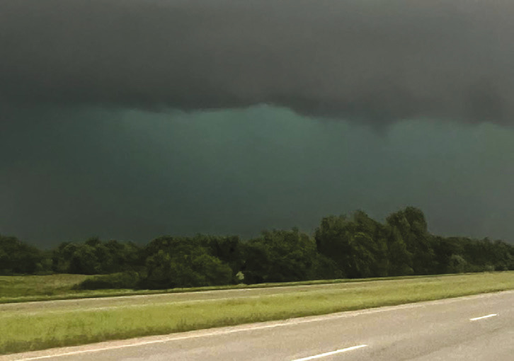
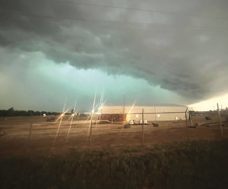
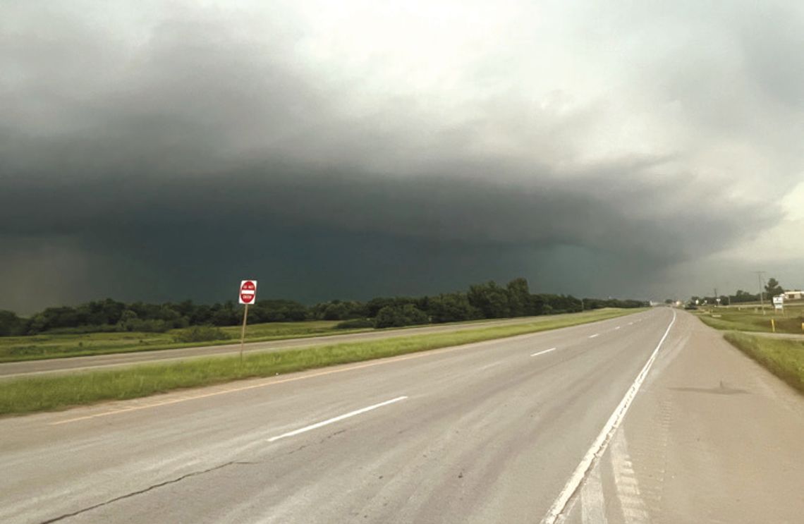
The View’s long-time weather reporter, Raymond Schiflett, shared his account of chasing a tornado in Oklahoma last month during the large tornado outbreak that spread across the central U.S. On April 27, many supercell thunderstorms developed east of Enid, spawning a number of dramatic tornadoes. Schiflett was on the scene with his camera and captured dramatic weather images and videos of a rain-wrapped tornado created from a supercell thunderstorm.
“I have always wanted to chase tornadoes but waited for the right situation before I set out. Monday provided that chance as the National Weather Service issued a five out five chance for tornadoes in an area that centered just east of Enid, OK and stretched to Wichita KS to the north, Stillwater to the east, Ada to the south and Woodward to the west. I wanted to observe the storm in a relatively safe environment during daylight hours, where the land was mostly flat, the storms were projected to be long-tracking, and the roads ran predictably in a north, south, east or west direction so there would be a predictable escape route, should that be necessary. The final criteria I had was that there would be a high probability of seeing some development. A five out of five chance is excellent.”

IN THE BLUE AREA BELOW THE THICK CLOUDS, RAIN OBSCURES THE FUNNEL OF A DOWNED TORNADO.

THE LAST RAYS OF DAYLIGHT ILLUMINATE THE SPECTACULAR WEATHER EVENT, JUST FOUR MILES FROM WHERE SCHIFLETT CAPTURED THIS IMAGE.
“At noon,” Schiflett continued, “I left Driftwood and drove straight through to arrive 24 miles south of Enid and three miles south of Hennessey, OK, at approximately 6:30 p.m. I stopped in a safe place and started shooting photos and videos of an incredible supercell storm that filled the sky with a confirmed tornado on the ground just four miles from my location. While I could not see the funnel because it was rain-wrapped and invisible, it was there. Confirmation came from radar and other spotters, some of whom got way too close, at a quarter of a mile.”
According to Wikipedia, a supercell thunderstorm is characterized by the presence of a mesocyclone, a deep, persistently rotating updraft. Of the four kinds of thunderstorms, supercells are the overall least common and have the potential to be the most severe. They usually produce copious amounts of hail, torrential rainfall, strong winds and substantial downbursts. Supercells are one of the few types of cloud that typically spawn tornadoes within the mesocyclone.


